"DDA: Building Dreams, Shaping Futures"
संकल्पन से सृजन तक

Journey Of River Yamuna
Journey Of River Yamuna
Journey Of River Yamuna
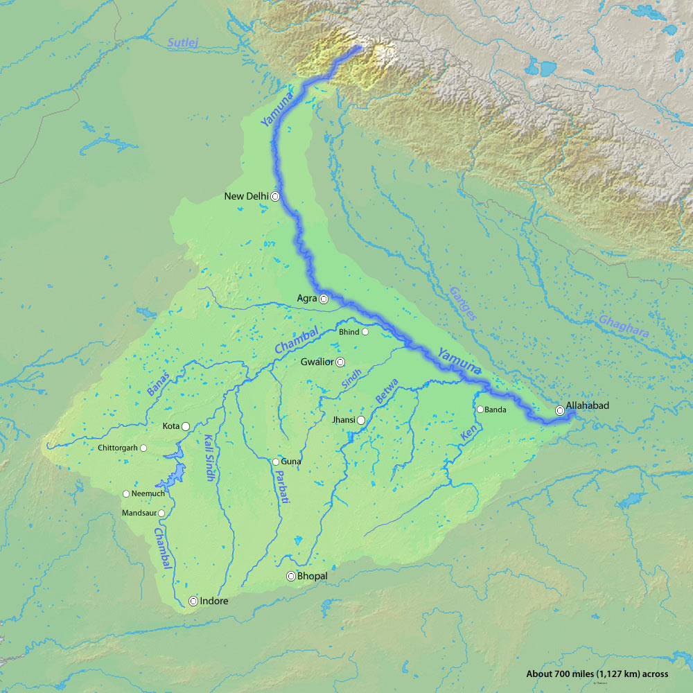
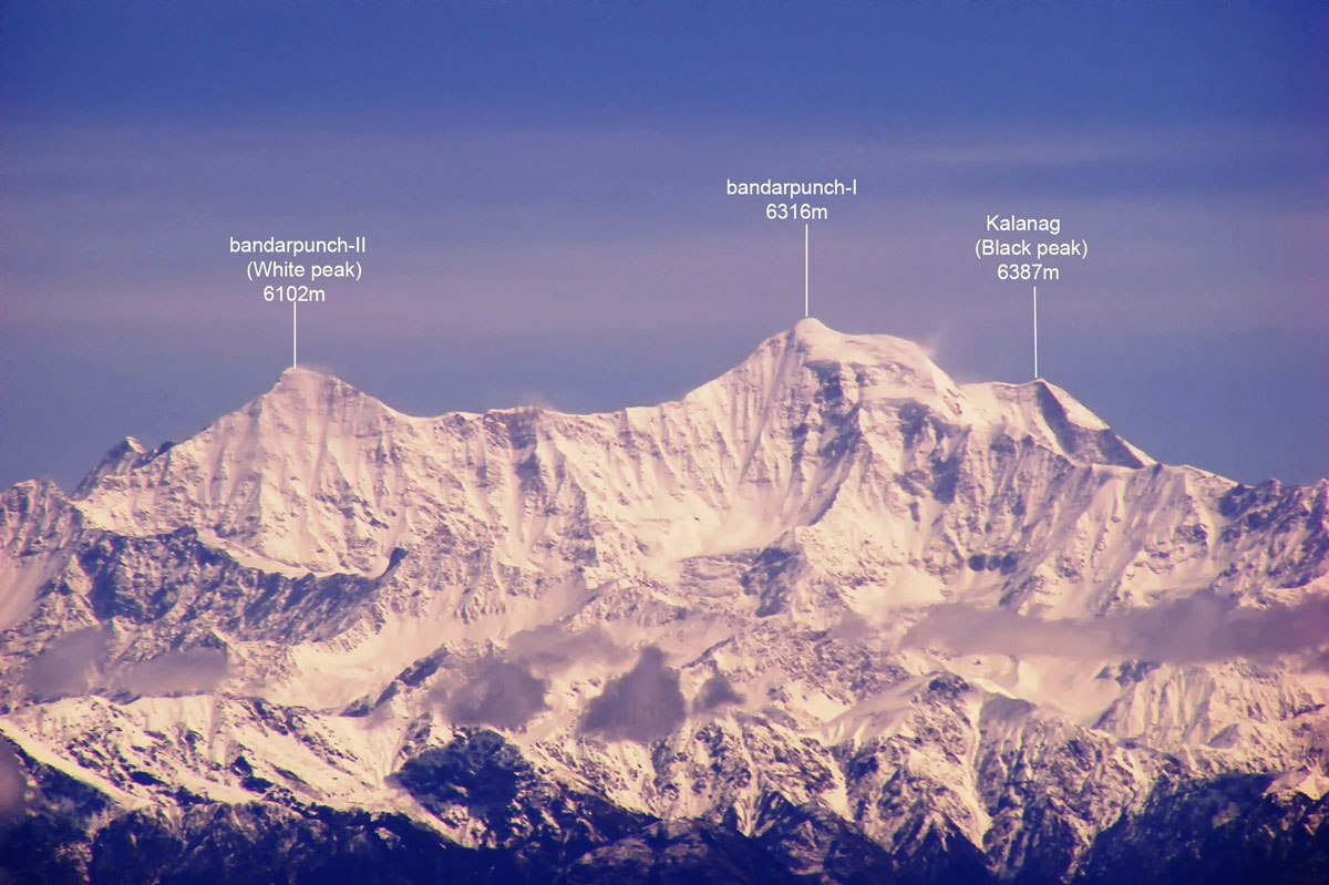
Yamuna, once, a tributary of the River Ghaggar (most likely the Saraswati River referred to in the Veda) changed its course eastwards due to tectonic events, becoming a tributary of the River Ganges. Originating near Banderpooch peaks at a height of 6,387 meters at Yamunotri Glacier, it travels a length of 1,376 kilometers before merging with River Ganges at Sangam. The total catchment area of the river spreads over 36,220 kilometers.
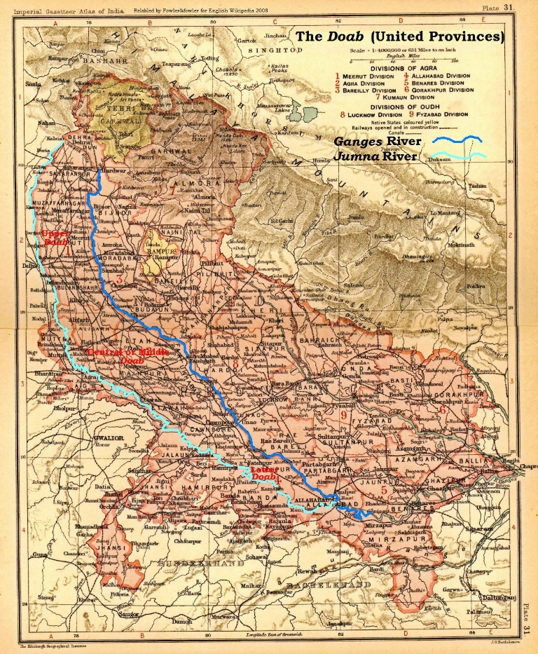
It is the longest river in India which does not directly flow to the sea. It has four main tributaries in the Himalayan region: Rishi Ganga, Hanuman Ganga, Tons and Giri. In the plains, the main tributaries are Hindon, Chambal, Sind, Betwa and Ken. Tons, being the major tributary contributes to about 60 percent flow of the Yamuna. The river water flows through the states of Uttarkhand, Himachal Pradesh, Haryana, Delhi, Uttar Pradesh and Rajasthan out of which only Rajasthan does not fall in its riparian zone.
In the plains, the river’s flow is regulated by barrages and at places, diverted into canals. During the dry summer seasons, this results in only 10 percent of the total volume of water descending from the mountains to the plains, finally reaching the city of Delhi.
Yamuna enters the National Capital Territory of Delhi at Palla Village and exits at Jaitpur totalling 52 kilometers, out of which it flows a distance of approximately 22 kilometers through Urban Delhi from Wazirabad Barrage to Okhla Barrage. Eight road bridges, two railway bridges, two metro bridges and two fair weather Pontoon Bridges cross River Yamuna. Effluents from twenty-two major drains are being discharged into the River. The river bed gently slopes from 210 MSL in the north to 199 MSL in the south with a gradient of about 9 meters from north to south.